- Back
- Formation: 20 February 1987
- Capital: Itanagar (Executive Branch)
- Governor: B. D. Mishra
- Population: 12.6 lakhs (2012)
- Chief Minister: Pema Khandu
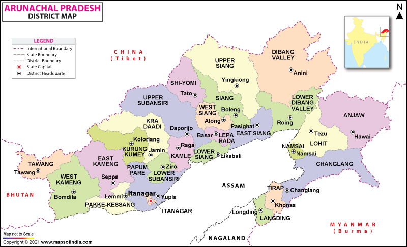
ARUNACHAL PRADESH
Arunachal Pradesh is an Indian state in Northeast India. It was formed
from the erstwhile North-East Frontier Agency region, and became a state on 20 February 1987. It
borders the states of Assam and Nagaland to the south. It shares international borders with Bhutan
in the west, Myanmar in the east, and a disputed border with China in the north at the McMahon
Line.
Among the crops grown here are rice, maize, millet, wheat, pulses, sugarcane, ginger, and oilseeds.
Arunachal Pradesh is also ideal for horticulture and fruit orchards. Its major industries are rice
mills, fruit preservation and processing units, and handloom handicrafts.
Top places to visit:
1. Tawang
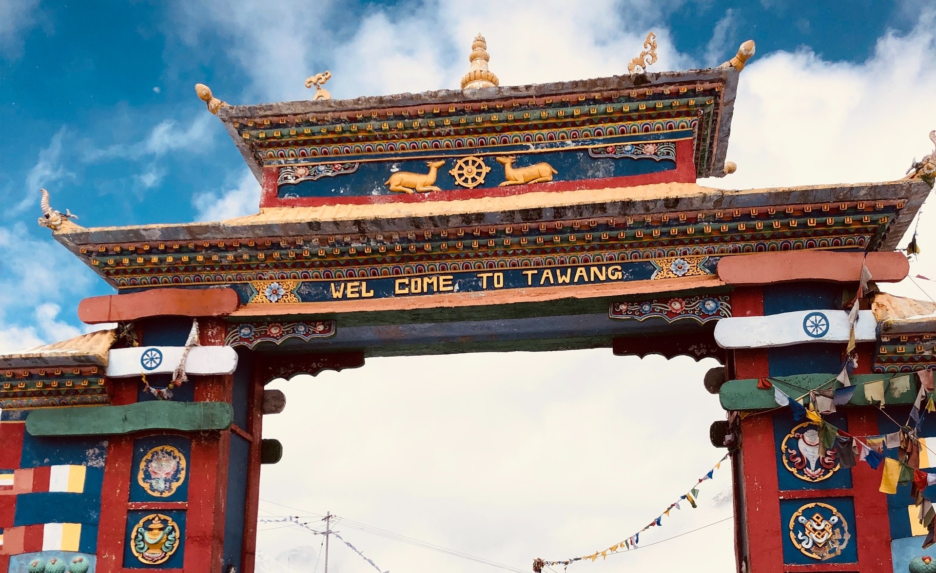
Tawang is a town and the headquarters of Tawang district in the Indian state of Arunachal Pradesh. Tawang is situated 448 km north-west of state capital Itanagar at an elevation of approximately 3,048 metres (10,000 ft). The town lies to the north of the Tawang Chu river valley, roughly 10 miles (16 km) south of the Line of Actual Control with China. The town once served as the district headquarters of West Kameng district. In 1989, the present day Tawang district to the north of the Sela Pass was split off as a separate district.
2. Ziro Valley
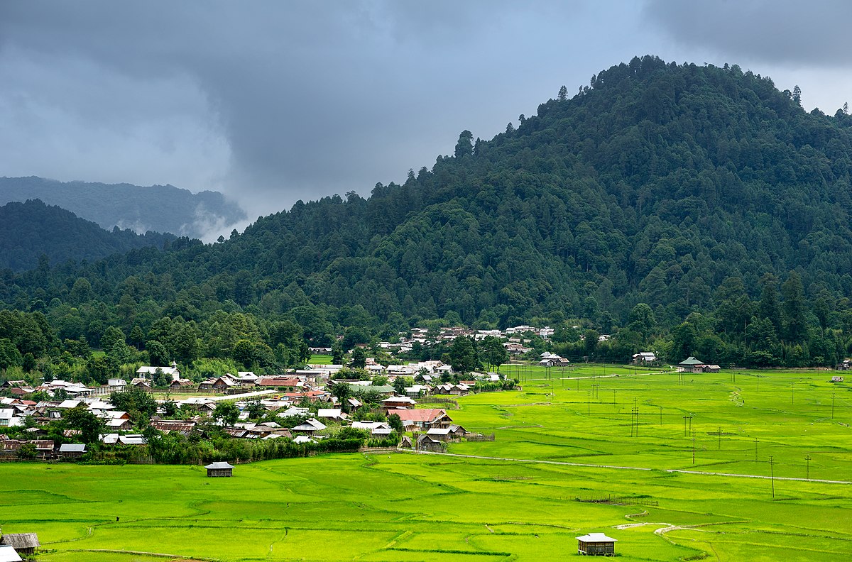
Ziro is a town and the district headquarters of the Lower Subansiri district in the Indian state of Arunachal Pradesh. It is included the Tentative List for UNESCO's World Heritage Site for the Apatani cultural landscape. The part of the town which is the centre of economic activities and where the administrative offices are located is called as Hapoli or locally known by the Apatanis as "Hao-Polyang".
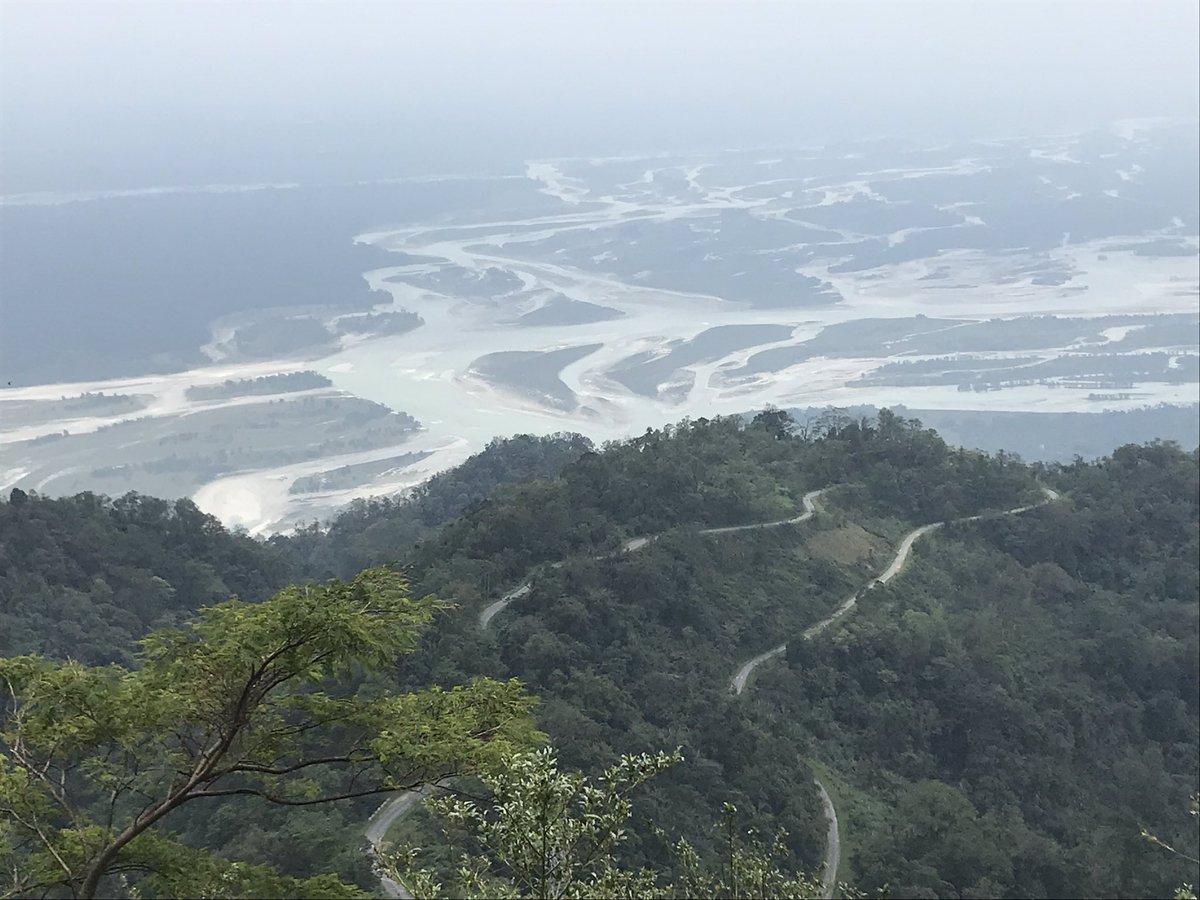
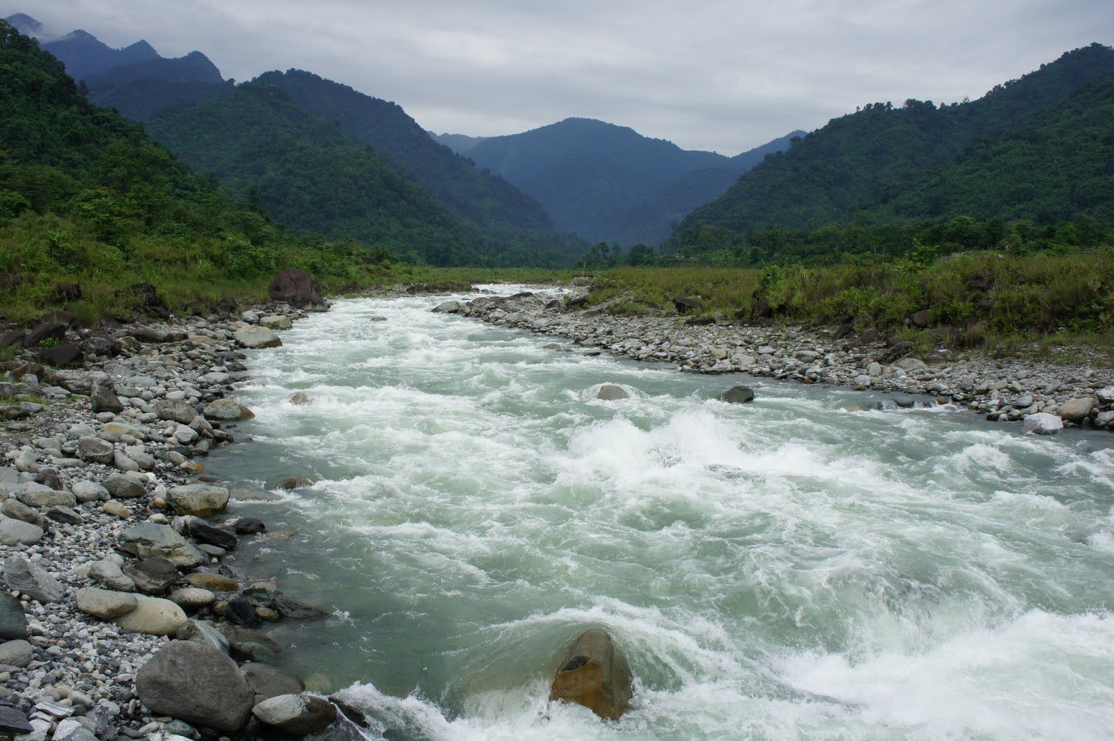
3. Namdapha National Park
Namdapha National Park is a 1,985 km² large protected area in Arunachal Pradesh of Northeast India. With more than 1,000 floral and about 1,400 faunal species, it is a biodiversity hotspot in the Eastern Himalayas. The national park harbours the northernmost lowland evergreen rainforests in the world at 27°N latitude. It also harbours extensive dipterocarp forests, comprising the northwestern parts of the Mizoram-Manipur-Kachin rain forests ecoregion.
4. Sela Pass
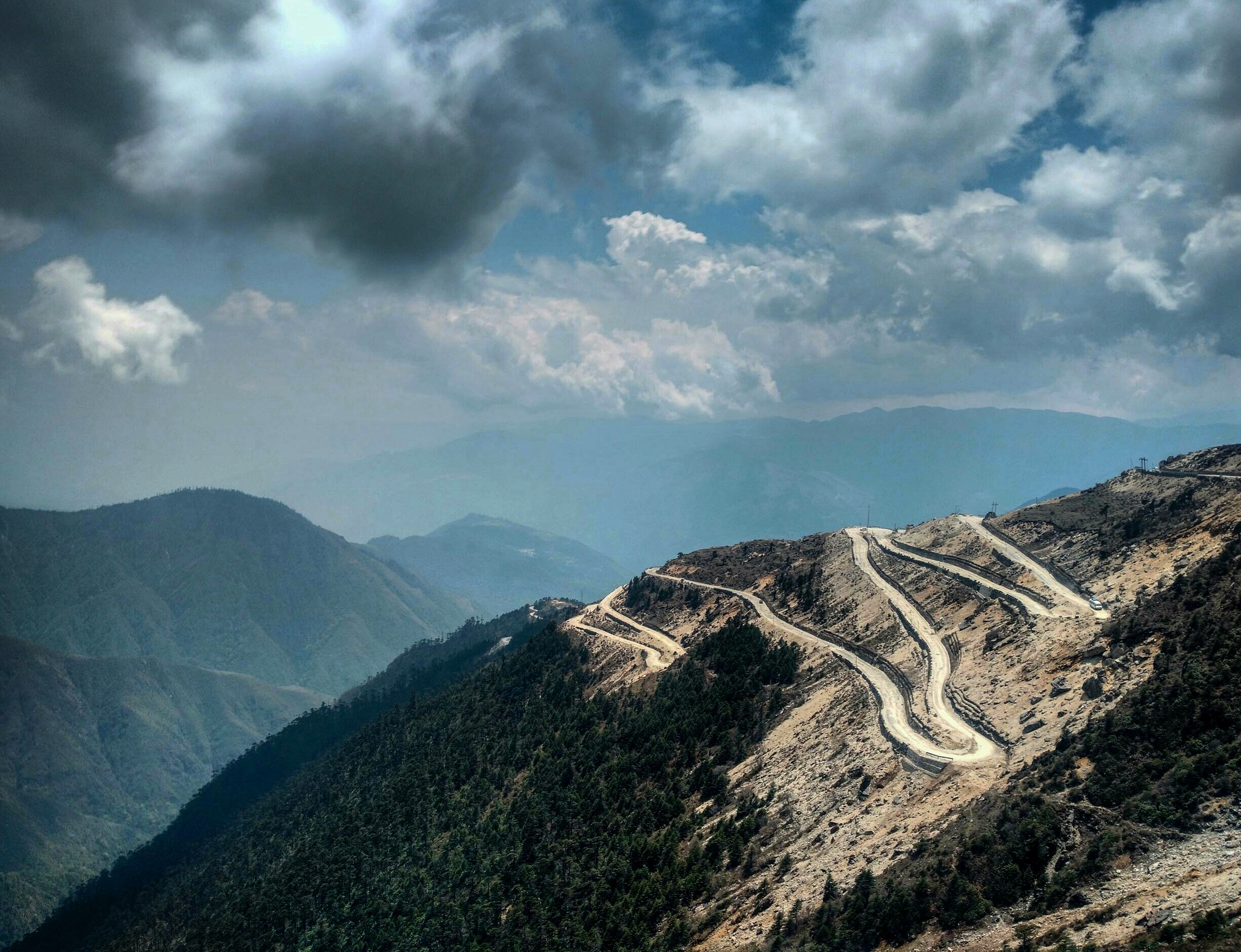
The Sela Pass is a high-altitude mountain pass located on the border between the Tawang and West Kameng districts in the Indian state of Arunachal Pradesh. It has an elevation of 4170 m and connects the Indian Buddhist town of Tawang to Dirang and Guwahati. The pass carries the National Highway 13 (previously NH 229), connecting Tawang with the rest of India. The pass supports scarce amounts of vegetation and is usually snow-covered to some extent throughout the year.
5. Tezu
Tezu is a census town and the headquarters of Lohit district in the Indian state of Arunachal Pradesh. It is the fifth largest town in Arunachal Pradesh and one of its most developed. The major Mishmi God is Ringyajabmalu and the major Mishmi festival is known as Tamladu puja. It is celebrated each year on 15 February. People from all communities and all walks of life are invited to join in the celebrations. The Holy Parshuram Kund is also nearby and thousands of Hindu pilgrims from all over India, and also from neighbouring countries, come to take a holy dip and wash away the sins of millions of births.
6. Roing
Roing is the district headquarter of Lower Dibang Valley district in the Indian state of Arunachal Pradesh. It is the last major township at the north-eastern frontier of India. The Roing Bazaar is the market where most residents buy and sell supplies and food. The proposed highway of the Special Accelerated Road Development Programme (SARDP) will run through the bazaar, possibly increasing customers.